Thailand National Park
Tung Salang Luang National ParkCovers an area of Phitsanulok and Phetchabun province. There are have beautiful natural scenery and a variety of sources such as natural caves, waterfalls, meadows, rich in plants and animals. With an area of approximately 1262.55 square kilometers, announced the establishment of. "Tung Salang Luang National Park" on Saturday, January 29, 2506.
Tung Salang Luang Topography
.Tung Salang Luang National Park is a mountainous area like a cambered ripple. On the western mountains of limestone chips as long as the north - south. The middle have many high mountains with a peak elevation of about 1028 meters above sea level.That making this area have many streams, creeks, such as Khek large creek, Khek little creek, Bass River,Chomphu canal and Wangtong canals etc.
Tung Salang Luang Climate
.Tung Salang Luang National Park in the winter months from November to February. Generally the weather is very cold place ,it suitable to visit in this time. During the months of March to June it's a summer. The maximum temperature is around 29 degrees Celsius. During the rainy season from July to October the average rainfall is about 1700 mm per year. Tourist should to go in Winter recommend.
Photographer vegetation and wildlife
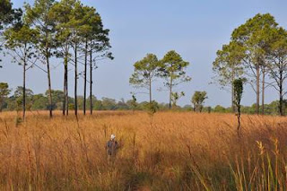
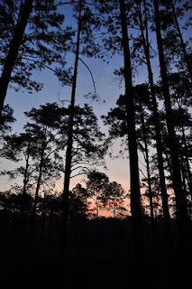
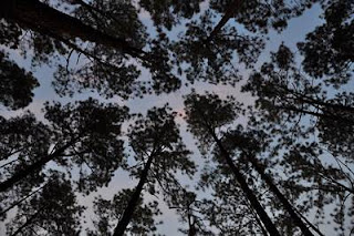
The forest consists of Rainforest, Dryforest and mixed forest. The principal species such as Two pine trees, Rubber, Iron Wood, Wild Mango, Red water, Maka,Teak, ked red,ked black, Padauk, Etc. The prairie is a vast open space. There are alternate pine and flowers. Wildlife animals includes elephants, tigers, deer, monkeys, langurs, wild boar, rabbits and birds and so forth. For traveler who's need to photograph animal life or bird ,this place is good to do.
More about Unseen Thailand
More about National Park khaoyai national park
No comments:
Post a Comment